Lake Houston Flood Risk: What Homeowners Need to Know
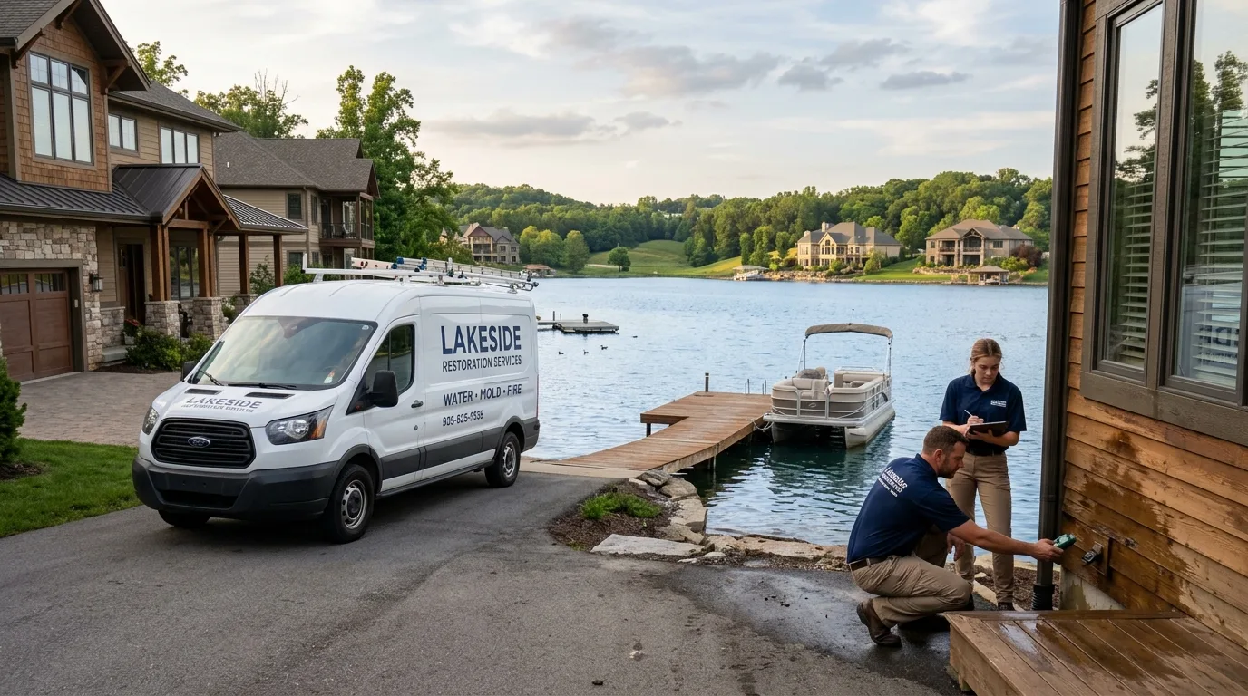
Lake Houston sits at the center of one of the most complex flood management challenges in Texas. For homeowners in Humble, Atascocita, and Kingwood, the lake is both a source of recreation and a flood risk factor that doesn’t operate like rain falling from the sky — it operates based on water management decisions made by the US Army Corps of Engineers during storm events. Understanding how Lake Houston’s flood risk actually works changes how Humble-area homeowners should think about flood preparedness. This guide explores what drives Lake Houston flooding and connects to our full hurricane Harvey flood recovery guide and the complete water damage restoration guide.
Lake Houston Area Flooding? We Respond 24/7
Emergency flood cleanup for Atascocita, Humble, and Kingwood. Call (877) 698-1311.
How Lake Houston Actually Works
Lake Houston is an 11,000-acre reservoir on the San Jacinto River, created by the Lake Houston Dam managed by the City of Houston. It receives water from the entire San Jacinto River watershed — approximately 3,900 square miles of drainage area extending north and east of the Houston metro. When it rains heavily anywhere in that watershed, water flows into Lake Houston.
The City of Houston and the US Army Corps of Engineers manage Lake Houston’s water level through spillway gate operations. During normal conditions, the lake is maintained at a target elevation to balance flood control capacity with water supply and recreation needs. When a major storm event causes lake levels to approach or exceed the spillway capacity, operators must release water downstream — which means through the San Jacinto River into the communities downstream of the dam, including Humble, Atascocita, and Kingwood.
This is the dynamic that made Harvey so catastrophic for these communities: the storm deposited so much water into the watershed that spillway releases became necessary for dam safety. Neighborhoods that had never flooded in decades of residency were suddenly under several feet of managed-release water on top of direct rainfall.
Understanding Your Flood Zone Near Lake Houston
FEMA flood maps for Harris County are divided into several zones with different flood risk levels:
Zone AE: High risk — 1% annual flood probability (100-year floodplain). Many Atascocita and Humble properties directly adjacent to Lake Houston and the San Jacinto River are in Zone AE.
Zone X (shaded): Moderate risk — 0.2% annual flood probability (500-year floodplain). Many Humble and Kingwood properties not in the direct floodplain but still at meaningful flood risk.
Zone X (unshaded): Minimal risk — outside the 500-year floodplain. These properties can still flood, as Harvey demonstrated when neighborhoods far outside FEMA flood maps experienced significant flooding.
The critical lesson from Harvey: FEMA flood maps are based on historical data that predates the intensification of tropical storms observed in recent years, and they do not fully account for the spillway management dynamics of Lake Houston. Properties outside flood zones flooded during Harvey precisely because the storm exceeded the design basis of both the flood mapping and the flood control infrastructure.
The Spillway Release Flood Pattern
The specific flood damage pattern created by Lake Houston spillway releases differs from direct rainfall flooding in ways that matter for restoration:
Longer duration: Spillway releases can maintain elevated water levels for days after rainfall has stopped, while direct rainfall flooding tends to recede more quickly as drainage systems clear.
Cleaner initial water, then contaminated: Water released from Lake Houston reservoirs is typically cleaner than storm runoff, but as it flows through neighborhoods it picks up sewage, chemicals, and debris — eventually becoming Category 3 contaminated water requiring biohazard decontamination protocols.
Predictable with warning time: Unlike direct rainfall flooding that can begin within minutes, spillway release flooding is preceded by announcements from the City of Houston and the Army Corps of Engineers. Humble and Atascocita homeowners who monitor these announcements during major storms have hours of warning to move valuables to upper floors and prepare for controlled flood events.
What Lake Houston Waterfront Properties Face
Properties directly on Lake Houston in Atascocita and Humble face an additional risk layer beyond standard flood zone exposure: lake-level management can cause slow-onset flooding during extended rainfall periods even without major storm events. As the lake level rises during wet seasons, waterfront properties experience shoreline flooding, elevated groundwater tables, and moisture intrusion from below — a chronic exposure that differs from the acute flooding of storm events.
These properties benefit significantly from professional moisture assessment during and after wet seasons, not just in response to acute flooding. Crawlspace moisture intrusion and foundation moisture are ongoing concerns for Harris County waterfront properties that don’t always reach the threshold of “visible flooding” but do cause cumulative structural damage over time.
Frequently Asked Questions
How do I get warning when Lake Houston spillway releases are planned?
The City of Houston Water Department and Harris County Flood Control District both maintain emergency notification systems. Harris County Alert is a free service that provides text and email notifications for flood events and spillway operations — sign up at hcfcd.org. During major storm events, local news outlets also broadcast spillway release updates. Monitoring Lake Houston water levels directly is possible through USGS stream gauge data available online.
Does NFIP flood insurance cover Lake Houston spillway release flooding?
Yes — NFIP flood insurance covers flooding from water that originates outside your home, including from controlled reservoir releases. However, the interaction between the timing of the release and your specific property’s flooding can affect claims. We work with NFIP adjusters to document the specific flood source and timing for every Harris County claim.
How should I prepare my Humble or Atascocita home for a future Lake Houston flood event?
Key preparations: carry NFIP flood insurance, sign up for Harris County Alert notifications, know your flood zone, have an emergency inventory of personal property for insurance purposes, and maintain an emergency kit that supports rapid evacuation. For restoration preparation: save our emergency number (877) 698-1311 in your phone — being a priority call when the phones light up after a major flood event means faster response when response capacity is stretched.
Near Lake Houston and Concerned About Flood Risk?
Humble Water Damage Restoration serves Atascocita, Humble, and Kingwood with 24/7 emergency flood response. Call (877) 698-1311.
Related reading: